Our story
Built in the field, for the field.
HeavyCivilHelper was built by someone who started as a laborer at 16 and spent the next decade and a half moving from crawlspaces and attics into HVAC sales, then into heavy civil roadway project management on Caltrans and utility relocation projects.
Where the idea came from
In HVAC sales, the broken handoff between the sales team and the install crew was visible every day. A job sold on certain conditions would show up to the install crew with different conditions and no updated documentation. The field team was working blind.
In heavy civil, the same problem appeared at a larger scale. RFIs would get responses in the office and never reach the crew at the relevant station. Directives would change scope without the foreman two stations down knowing about it. The question that never had a good answer was: what is open right where I am standing right now?
No tool answered that question. They tracked paperwork. They organized by record number. They listed items in rows. None of them put those items on a map at the location where they occurred.
What HeavyCivilHelper is
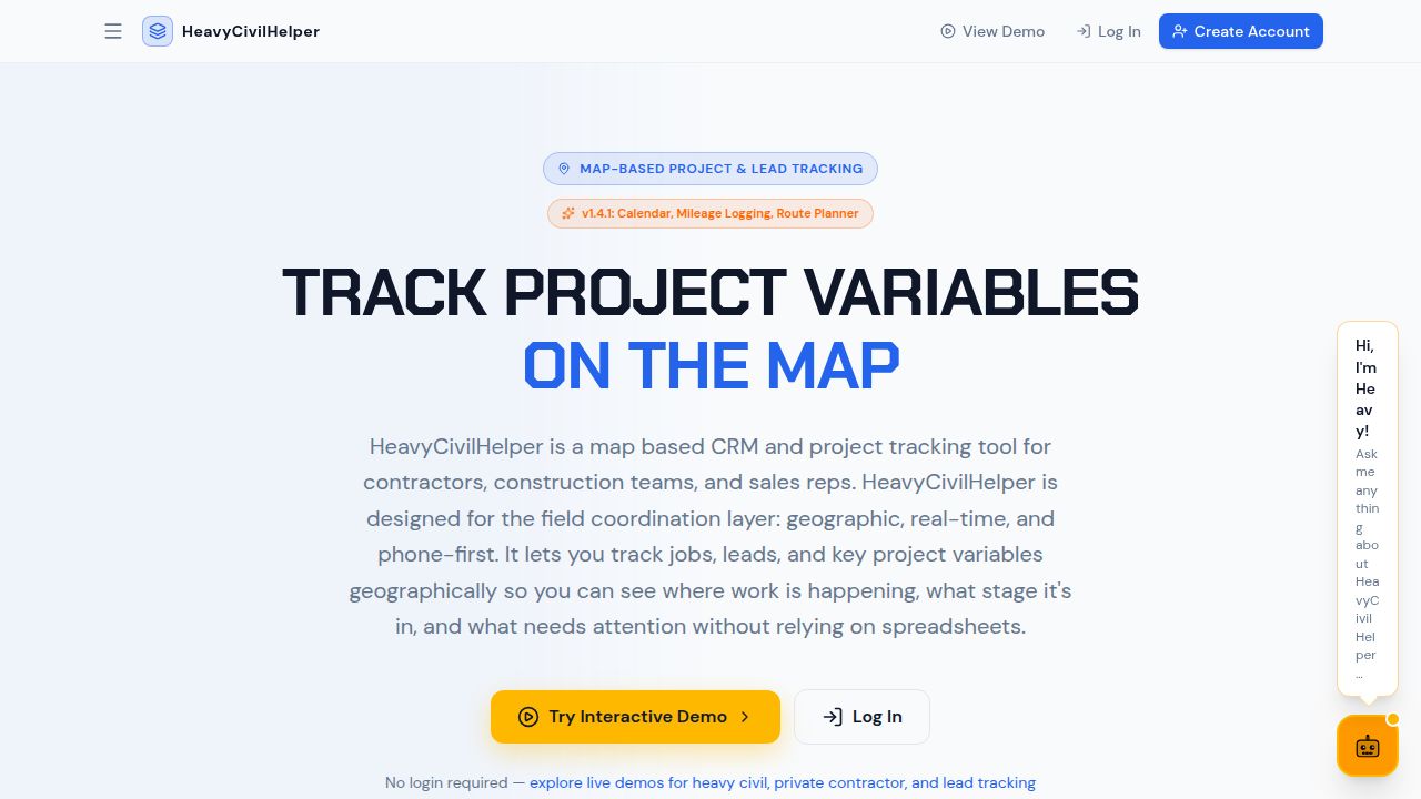
HeavyCivilHelper is the field coordination layer between the office and the ground. Every RFI, directive, submittal, change order, lane closure, and field photo lives at the GPS location where it belongs. The field crew at any station opens the map and sees what is active at their location. The PM sees the whole corridor at a glance. The office and the field share one picture.