For paving and pavement contractors
Paving contractor field tracking: every section pinned to the map, status updated in real time.
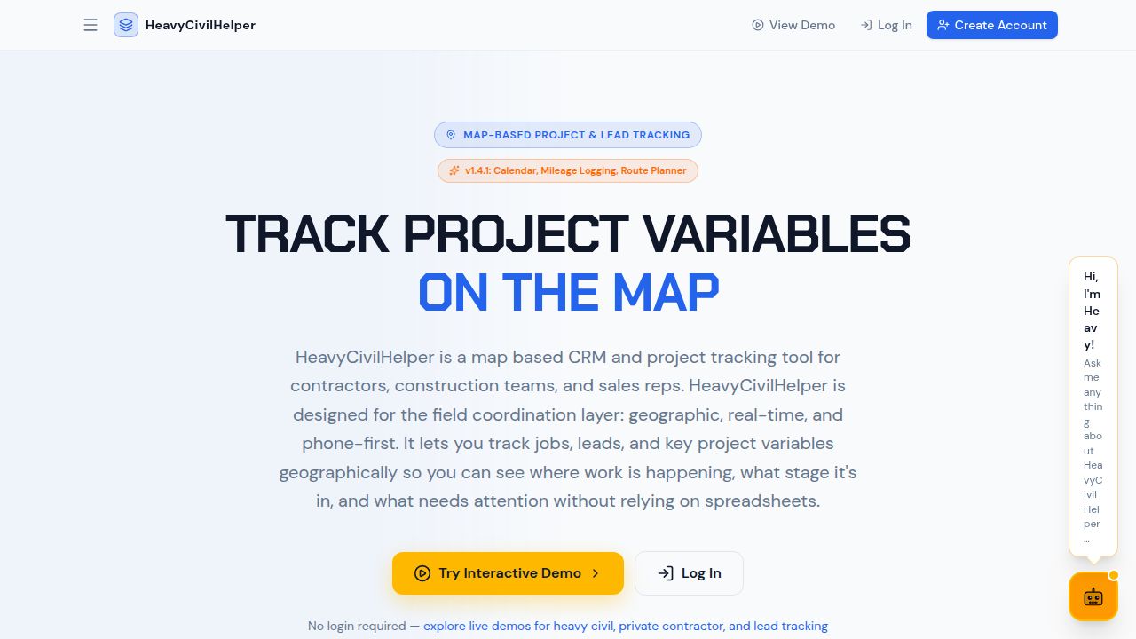
A grinding contract across 12 street segments. A slurry seal job spread across a school district. A pavement maintenance program with 40 patches across a city. Tracking which sections are done, which are in progress, and which have issues should not require a phone call. HeavyCivilHelper puts the whole contract on a GPS map with live status at each location.
What paving contractors track on the map
- Map each pavement section as a pin with status — Every grinding zone, overlay section, slurry seal area, or patch location is a GPS pin. Status updates from scheduled to in-progress to complete as the crew moves through the contract.
- Custom categories for your pavement workflow — Grinding, overlay, slurry seal, crack seal, patching, striping — each as a named pin category with its own color and status stages. The map reflects your actual scope, not a generic template.
- Multi-site visibility for maintenance contracts — City-wide or district-wide programs with dozens of locations across multiple zip codes. One map, all locations, live status — the PM sees the whole contract without calling each foreman.
- RFIs and directives for pavement condition disputes — Unexpected base failures, ADA compliance questions, and scope changes logged as RFIs or directives at the station — with photos. The change order basis is documented before you leave.
- Compaction test holds tracked at each section — Test-required pins at the GPS coordinate of each tested area. Status from required through passed or failed — the city inspector sees results at each location.
Frequently asked questions
How does HeavyCivilHelper help a paving contractor track field work?
A paving contractor uses HeavyCivilHelper to map each grinding section, overlay zone, or slurry seal area as a custom pin with a status — Open, In Progress, or Closed. The foreman sees a live view of which sections are done, which are in progress, and which have not been started.
Does it work for multi-site pavement maintenance contracts?
Yes. Multi-site contracts — city-wide slurry seal programs, district-wide pothole repair, airport pavement maintenance — are where the map view has the most impact. Each site or section is a pin. The project manager sees the whole contract on one map and knows which sections are complete, in progress, and still open without calling each foreman.
How do I handle compaction test holds at specific locations?
Compaction test required pins are dropped at the GPS coordinate of the section being tested. Status goes from 'test required' to 'test submitted' to 'passed' or 'failed.' The city inspector sees the test status at each location without a separate spreadsheet.
Can I document RFIs and changed conditions on pavement projects?
Yes. Pavement condition disputes, unexpected base failures, ADA compliance questions, and field scope changes are logged as RFIs or directives at the station where they occurred — with photos and timestamps. The change order basis is documented before you leave the location.