Field coordination
Map-based construction field coordination — RFIs, directives, and submittals organized by location
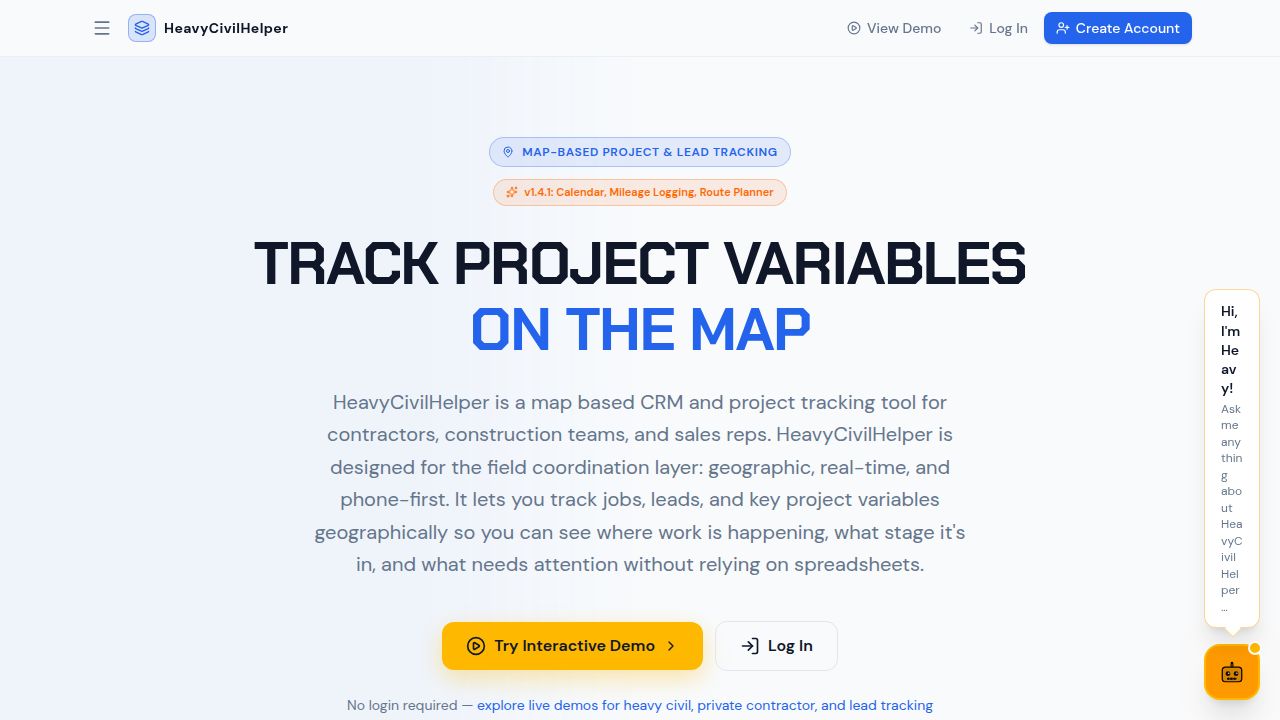
HeavyCivilHelper was built around a simple idea: track project variables directly on the map, where the work actually is. Every RFI, directive, submittal, and field photo belongs at the location where it occurred — not in a numbered list that requires translating the description into a mental picture.
What gets tracked on the map
- RFIs — pinned to the station — Each RFI is logged at the specific location where the field question arose. The pin carries the description, attached plan sheets and photos, the date submitted, and the current status. Open RFIs cluster in areas with plan conflicts.
- Directives — logged immediately — When the owner or engineer tells you to proceed on changed conditions, you log it at the location of the changed work — date, description, who issued it, photos. The dated, located record is your protection.
- Field photos — tied to where they were taken — A photo attached to the pin at the location it was taken is immediately meaningful. A photo in a folder named 'site pics March' requires context to interpret.
- Plan overlays — Reference the design drawings in the same view as the field pins. Attach specific plan sheets to the structures or zones they cover.
Project types that benefit most
- Roadway and highway work — Stations, alignment, cross-sections, cut-and-fill, intersections — roadway projects are inherently linear and geographic. Every field issue, RFI, and directive has a station that belongs on the map.
- Utilities and underground infrastructure — Water, sewer, storm drain, electrical, gas, fiber — utility work crosses roads, parallels alignments, and conflicts with existing underground systems. Map-based tracking shows exactly where each conflict or issue is.
- Subdivisions and land development — Lots, phases, common areas, infrastructure zones — subdivision work covers a geographic area that's much easier to coordinate on a map than in a table organized by lot number.
- Bridge and structural work — Abutments, bents, deck pours, expansion joints — each structural element has a location. Inspection holds, RFIs, and submittals tied to those elements are more useful when tied to the map location.
Frequently asked questions
What is map-based construction coordination?
Map-based coordination means organizing project information — RFIs, directives, field photos, plan references, issues — by their physical location on the project rather than in a numbered list or spreadsheet. It gives the whole team a shared geographic view of what's happening where.
Why does location matter for construction documentation?
Construction problems have addresses. An RFI is at a specific station. A field issue is at a specific structure. A photo is from a specific corner of the site. When documentation is tied to a location, it's faster to find, easier to understand, and more useful as evidence in a dispute.
Is map-based tracking only for large civil projects?
No. Even a small commercial job has geographic context — which bay is the concrete work in, which unit has the plumbing conflict, which section of the roof has the leak. The scale changes, but the value of location-tied documentation doesn't.
How does map coordination help field crews specifically?
Field crews understand their work in terms of where they are on the site. A map-pinned directive, RFI, or issue makes immediate sense to them. A row in a spreadsheet requires translating the description into a mental picture — and that translation is where things go wrong.
What types of field information work well on a map?
RFIs, directives, change orders, field photos, plan overlays, inspection holds, material delivery locations, subcontractor work zones, punch list items — anything that has a physical location benefits from being tied to the map.