Web workspace

HeavyCivilHelper Web

The browser workspace for map-based construction tracking brings projects, records, photos, and blueprints together. Set up jobs, map RFIs, directives, and submittals, review what needs attention, and open the source behind the record. Plan overlays, work zones, reports, and exports help you coordinate Civil & Infrastructure, Building & Trades, and Bids & Estimates.
See Demos

Overview updated . No account needed for demos.

Field to decision

From field condition to evidence, record and cost context.

An unforeseen condition affects more than a point on the map. Keep the observation, supporting evidence, record status and potential scope impact connected from discovery through review.

  1. 01

    Field condition

    A damaged K-rail, an exposed utility, steel plates over a trench. Something in front of the crew does not match the plan or needs follow-up.

  2. 02

    Evidence

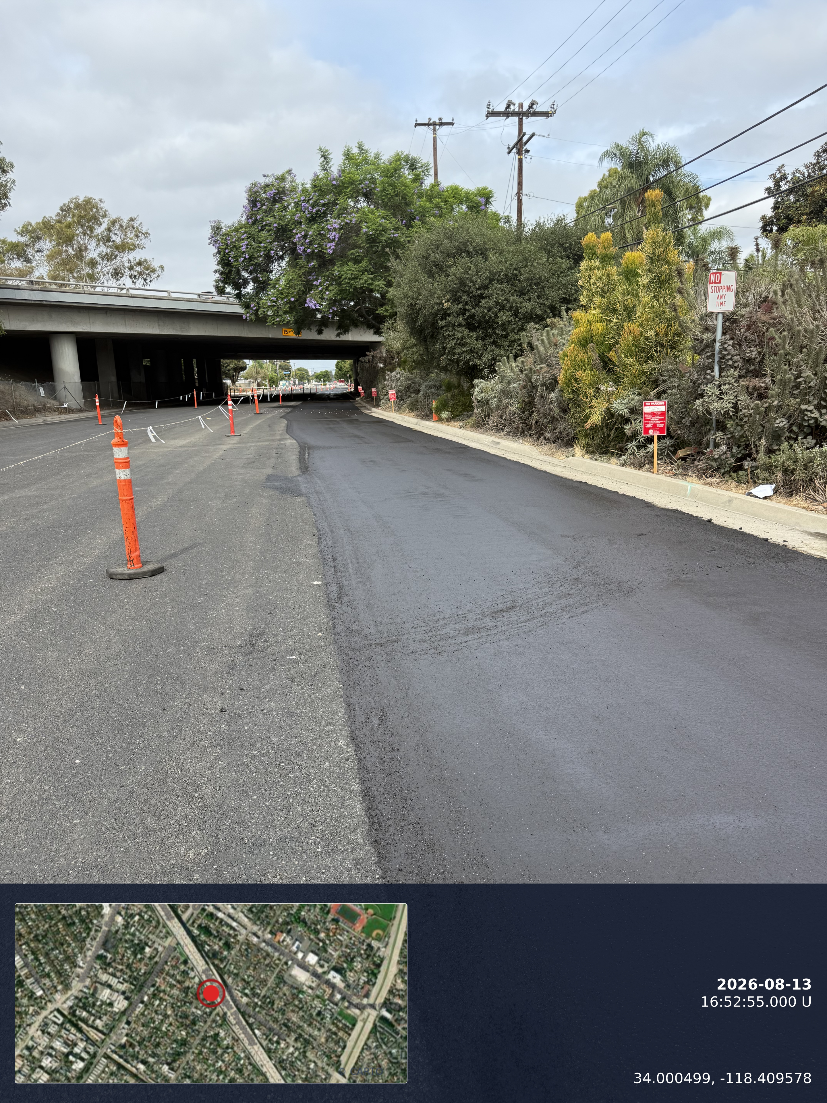
    A timestamp photo from Lens, Field or the website captures what was seen, when, and with map or blueprint context where location is available.

  3. 03

    Record

    The finding becomes an RFI, directive, attachment or custom pin with a status, so it can be found again by the people who did not see it in person.

  4. 04

    Decision and cost context

    The response, direction and any potential change value stay tied to the same record, so scope impact is visible while the issue is still open.

Cost context means tracking potential change value on the record while the issue is open. HeavyCivilHelper does not approve changes automatically or replace your contract change process; it keeps the evidence and the decision trail together for the people who do.

Sound familiar?

Six field-to-office problems, and what to do about them.

These are the practical gaps between discovering an issue, finding its context and getting the right information to the next person.

01 / 06

Records live everywhere.

Scattered across texts, emails, and spreadsheets that break the moment two people edit them.

The photo is in a foreman's camera roll, the RFI number is in an email thread, and the log is a spreadsheet with three versions. Nobody is wrong, but nobody has the whole record.

In practice

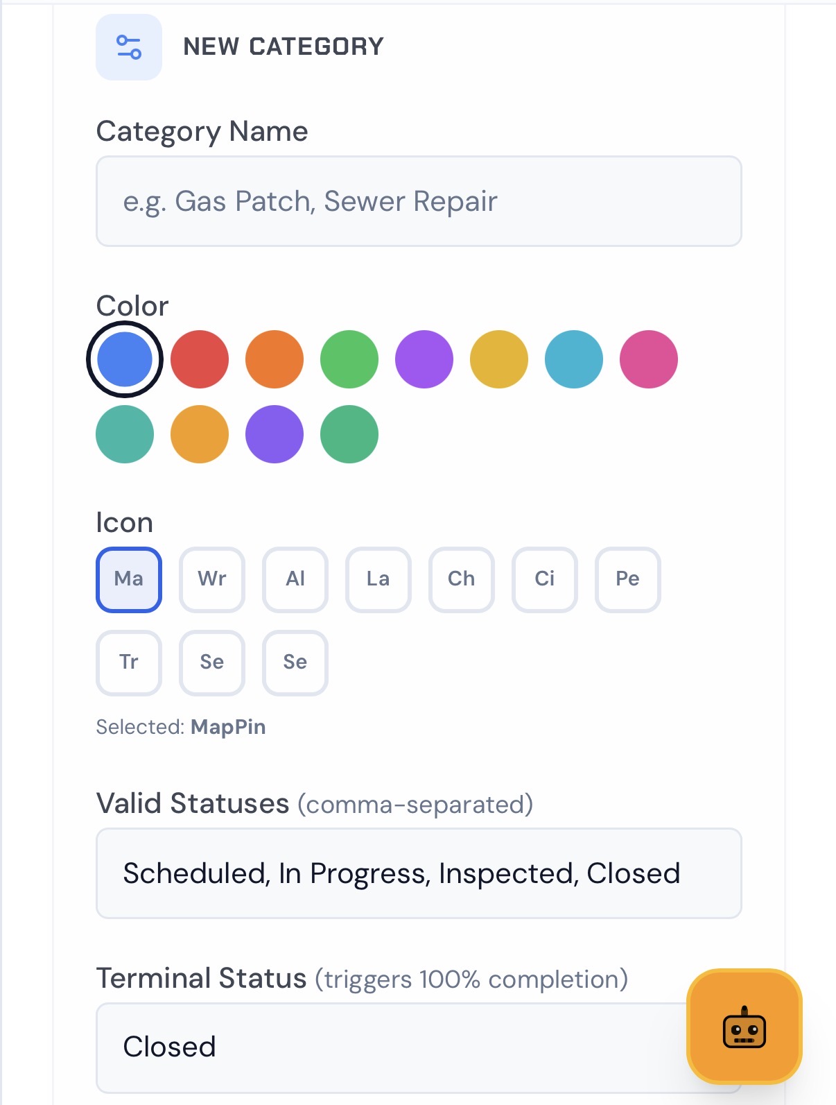
Keep photos, RFIs, directives and custom pins together within the project, and place them on the map when a location applies. Open the relevant record and supporting source instead of reconciling disconnected logs.
02 / 06

Field changes happen without getting to the office.

An open trench, changed condition, or unexpected site discovery can change measured quantities before the office sees it.

Quantities and scope move in the field first. By the time the office hears about it, the work may already be backfilled and the evidence gone.

In practice

Capture the condition with a timestamp photo where it happens, then create an RFI or directive from that attachment so it enters the office workflow while it is still visible.

03 / 06

It takes multiple calls to find the truth.

You call the crew or foreman just to find out what stage Direction or an RFI is actually in, and the answer is buried somewhere else.

Status lives in people's heads. Each call interrupts someone in the field and still returns a secondhand answer.

In practice

Use saved statuses on RFIs, directives and other tracked items. Open the pin or record to review its latest saved status and supporting source.

04 / 06

You cannot visualize the field vs. office.

There is no live view of where your team is working, what is active, or what changed when you are standing in the field.

A spreadsheet row cannot tell you that four open items sit inside the same 300 feet of corridor, or that a plan sheet conflicts with what the crew is looking at.

In practice

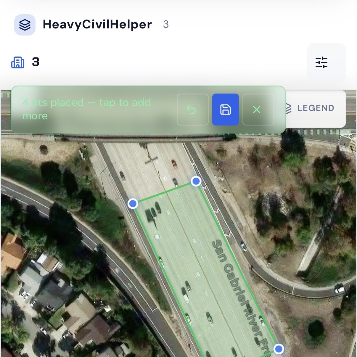
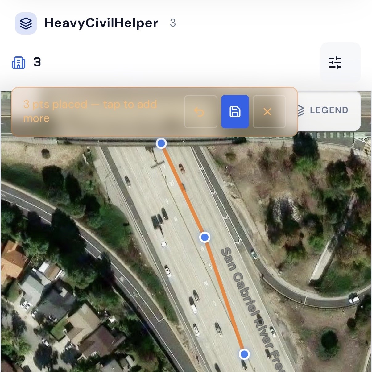
See saved records over satellite imagery and overlaid plan sheets, with lines and work zones marking the limits that matter to the crew.

05 / 06

Scope creep goes unnoticed until it's too late.

Directives and changes build quietly until they land on the final number and everyone is playing catch-up.

Each directive looks small on its own. Together they become the change order conversation nobody prepared for.

In practice

Track potential change value on the record while the issue is active, and review open directives and cost exposure across the project before closeout.

06 / 06

Assets are hard to find.

Crews or subcontractors drive past important locations, records, or assets because the information lived in someone's head, not on a map.

A valve, a stockpile, a staging area or a pickup point is obvious to the person who placed it and invisible to everyone else.

In practice

Pin it once, then share the pin's name and coordinates so someone can navigate there in their own maps app, without being given access to your project.

Start with a demo that fits your work

Three workflows, one map.

Each demo opens a project with illustrative data. It shows the workflow; it is not a customer project.

Civil & Infrastructure

Public works and private civil teams coordinating office and field.

  • Field photos tied to stations and locations
  • RFIs, directives, submittals and change orders
  • Plan sheet overlays and corridor work zones
Building & Trades

Residential, commercial, specialty and minor construction jobs.

  • Client requests and scope changes
  • Extra work documented with job photos
  • Custom pins for punch items and site conditions
Bids & Estimates

Pre-award teams tracking opportunities by location.

  • Bid locations and estimate visits
  • Follow-up dates so opportunities do not go cold
  • Deal value visible beside the site

One Source of Truth

Aligned in Plan and Field Views

RFIs, directives, and field issues stay anchored to their real-world location as teams switch between the plan and live site.

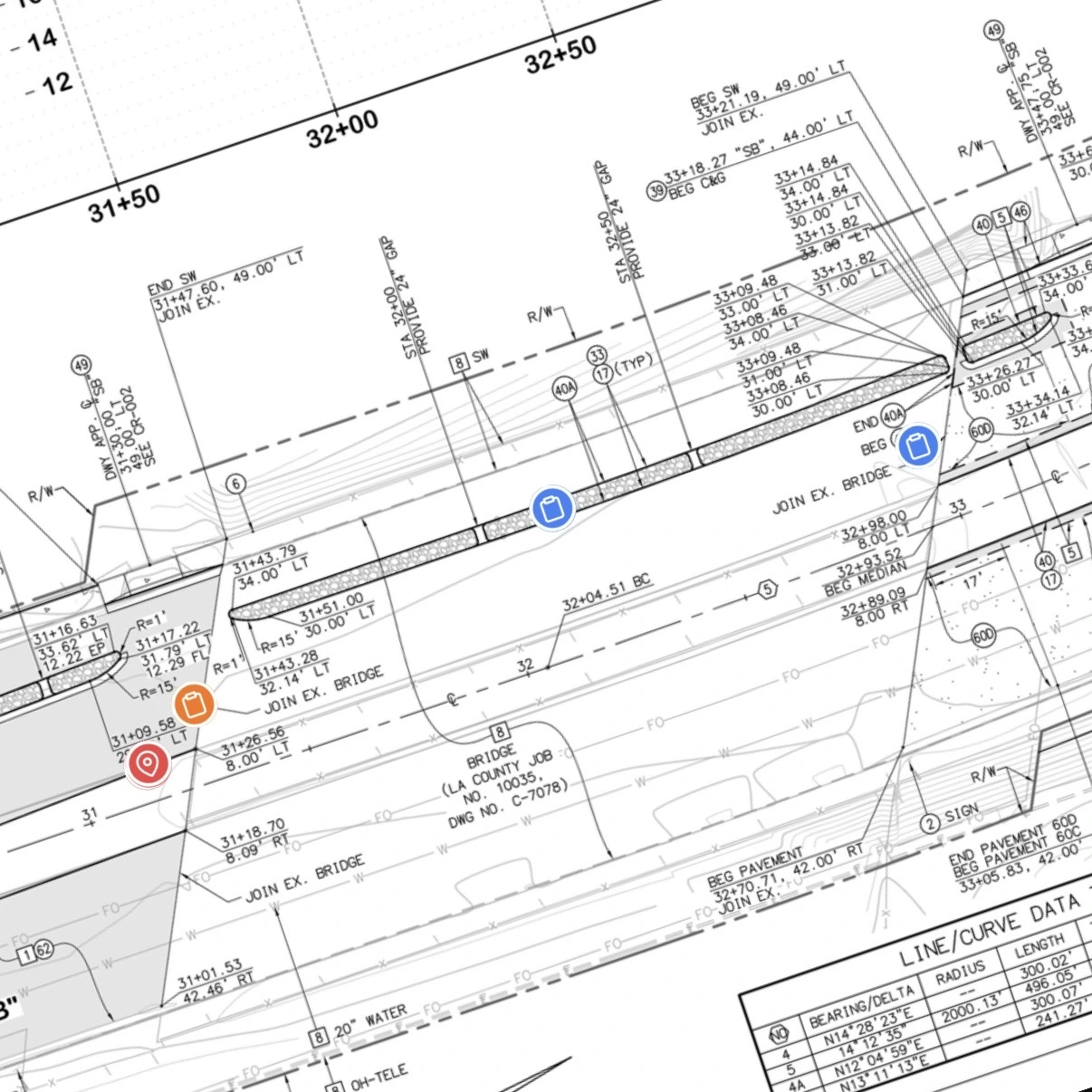
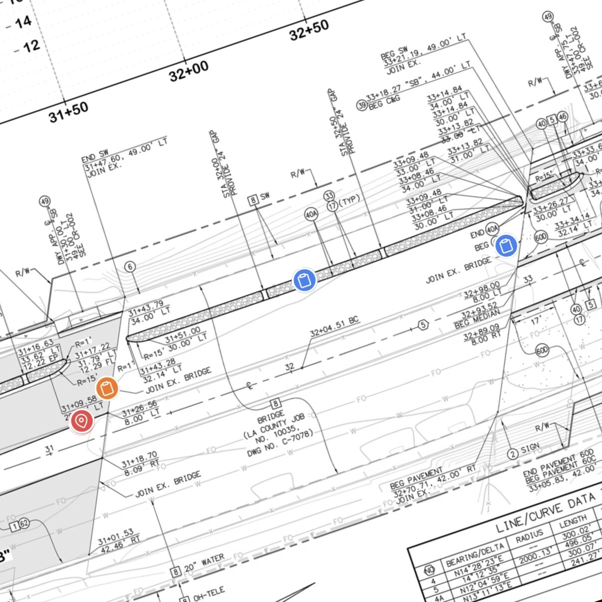
Construction blueprint with pinned RFIs and directives
Plan viewPin issues where the design applies.
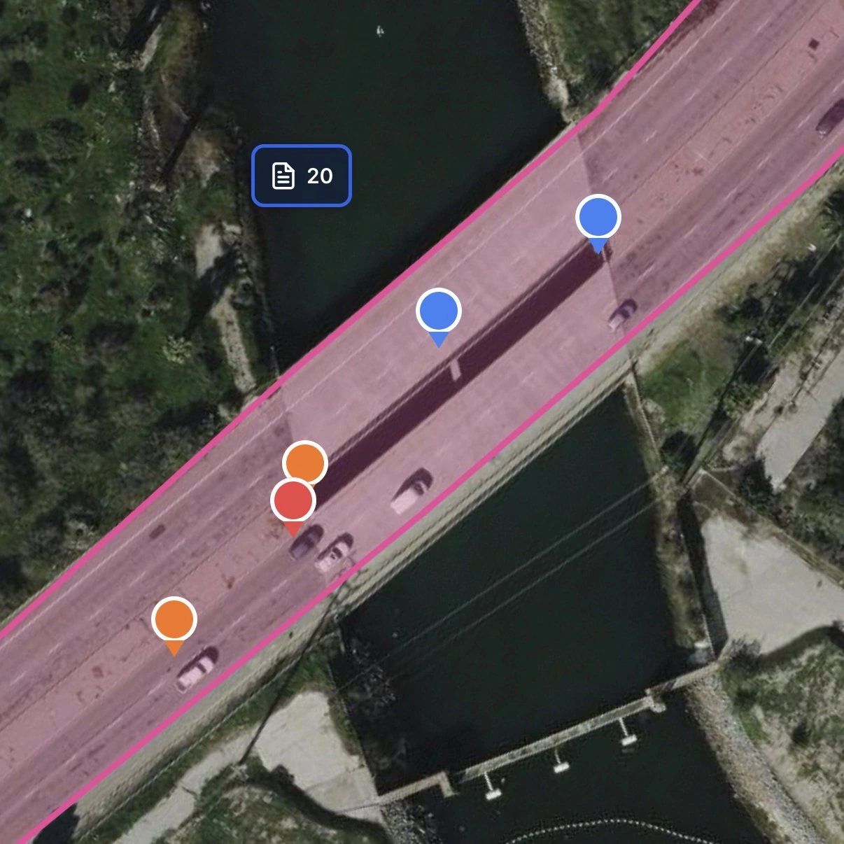
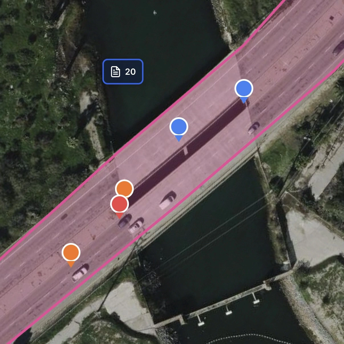
Satellite map showing the same construction issue pins in the field
Field viewSee the site and nearby work in context.

AI assistant

Ask Heavy what is open, and where.

Inside a project you are authorized to view, Heavy is read-only. It answers from saved records, statuses, custom pins and saved Work Zone boundaries: what is overdue, what is open inside Segment 1, what has potential cost attached.

Review open items and recorded cost exposure.

Generate an AI risk report from saved project records to summarize open and overdue items and recorded cost exposure. Review the output against the supporting records; it is not an approval or a contract determination.

  • Reads, does not write

    Heavy does not create, edit or approve records.

  • Uses saved data

    Answers come from what the project has saved, including complete Work Zone boundaries.

  • Not a document reader

    It does not interpret the contents of every PDF or photo; plan sheets are referenced by metadata.

Watch

See more

A closer look at project records, field capture, and photo evidence across Web, Field, and Lens.

What's new

What's new in HeavyCivilHelper

November update

A roundup of new map tools since October 7: find project items, reuse plan settings, and print a focused view.

  1. Search the project map

    Find records, pins, lines, zones, and plans—or jump to an address or coordinates.

  2. Reuse blueprint settings

    Save up to three job-specific opacity, rotation, and scale templates, synced across devices.

  3. Print the map view you need

    Frame an area, choose paper size and orientation, then print or save it as a PDF.

Previous roundup

  1. Project transfers and practical exports

    Move projects with .hch imports, back up selected data as ZIP, or export map layers as KML.

  2. Send someone to the right spot

    Share a pin's name and coordinates so others can navigate there without project access.

  3. Timestamp capture across Lens, Field, and the website

    Capture timestamped photos in Lens, Field, or Web; add map or blueprint context and review them in Web.

  4. Photo evidence that belongs on the map

    Keep location-tagged photo attachments with mapped project records.

  5. From an attachment to a tracked field item

    Create an RFI or Directive from an attachment, or link its photo to an existing custom pin.

Questions

What is HeavyCivilHelper Web?

HeavyCivilHelper Web is the browser workspace for map-based construction project tracking. Set up projects, organize RFIs, directives, submittals and photo evidence, overlay blueprints, review open items, and export project information using the tools available on your plan.

Who is it for?

Project engineers, field teams, solo operators and estimators. The three main workflows are Civil & Infrastructure, Building & Trades, and Bids & Estimates. Inspectors, utility crews and environmental contractors can also configure the toolkit for location-based work.

Do I need to install a desktop app?

No. HeavyCivilHelper Web runs in your browser. Sign in to your HCH account to set up projects and use the workspace; available features depend on your plan and project permissions.

What can the Heavy assistant do?

Inside a project you are authorized to view, Heavy is read-only. It answers questions from saved records, statuses and saved Work Zone boundaries. It does not edit records and does not read the contents of every PDF or photo.

Is the demo data real?

No. Demo projects use illustrative data to show the workflow. They are not customer projects or results.

How do I start for free?

Create an account, choose the Free plan, then add your first project. Compare plans on the pricing page before upgrading.

Psalm 127:1, Ephesians 6:13, Matthew 18:6