Platform overview
What is HeavyCivilHelper?
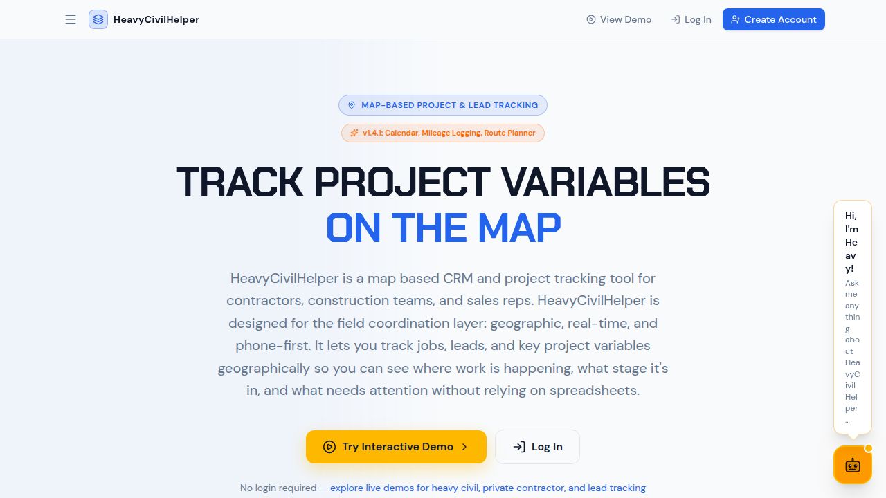
HeavyCivilHelper is a map-based project tracking and field coordination platform. The map is the home screen. Every project item — RFI, directive, submittal, change order, lane closure, lead, asset — lives as a pin at the GPS coordinate where it belongs on the project.
What it does
- Map-based field coordination — Pin every RFI, directive, submittal, and field issue to the exact location on the project where it occurred. Field crews see what is open at their station. PMs see the whole corridor.
- Lead and territory management — Outside sales reps and contractors pin every lead to its address, plan efficient routes between stops, and track pipeline density by neighborhood.
- Plan overlays — Upload project plan sheets and align them over the satellite map. Crews reference the design and the real-world view simultaneously without switching tools.
- AI risk reports — Generate a project risk summary, field status update, or open-item digest from your map data in one click. No manual report writing.
- Mobile field app — iOS and Android app for field crews. Drop a pin at current GPS location, update status, attach photos, and access RFIs and directives — no laptop required.
- Real-time sync — Changes made in the field appear on the office view immediately. The PM and the foreman are always looking at the same picture.
Who it is for
Heavy civil contractors, public works project managers, superintendents, field sales representatives, and any crew-based business where work is defined by a physical location rather than a client record or an appointment slot.